


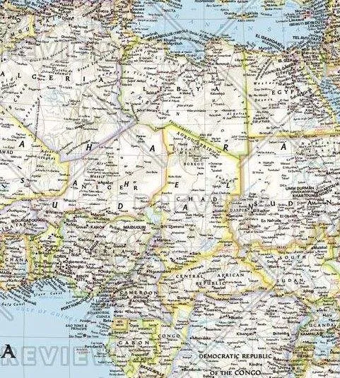
Our classic political map of Africa features country boundaries, place names, bodies of water, airports, major highways and roads, and much more.
Includes the most accurate and up to date boundaries and names for all countries including: Algeria, Angola, Benin, Botswana, Burkina Faso, Burundi, Cameroon, Cape Verde, Central African Republic, Chad, Democratic Republic of the Congo, Republic of Congo, C


")


